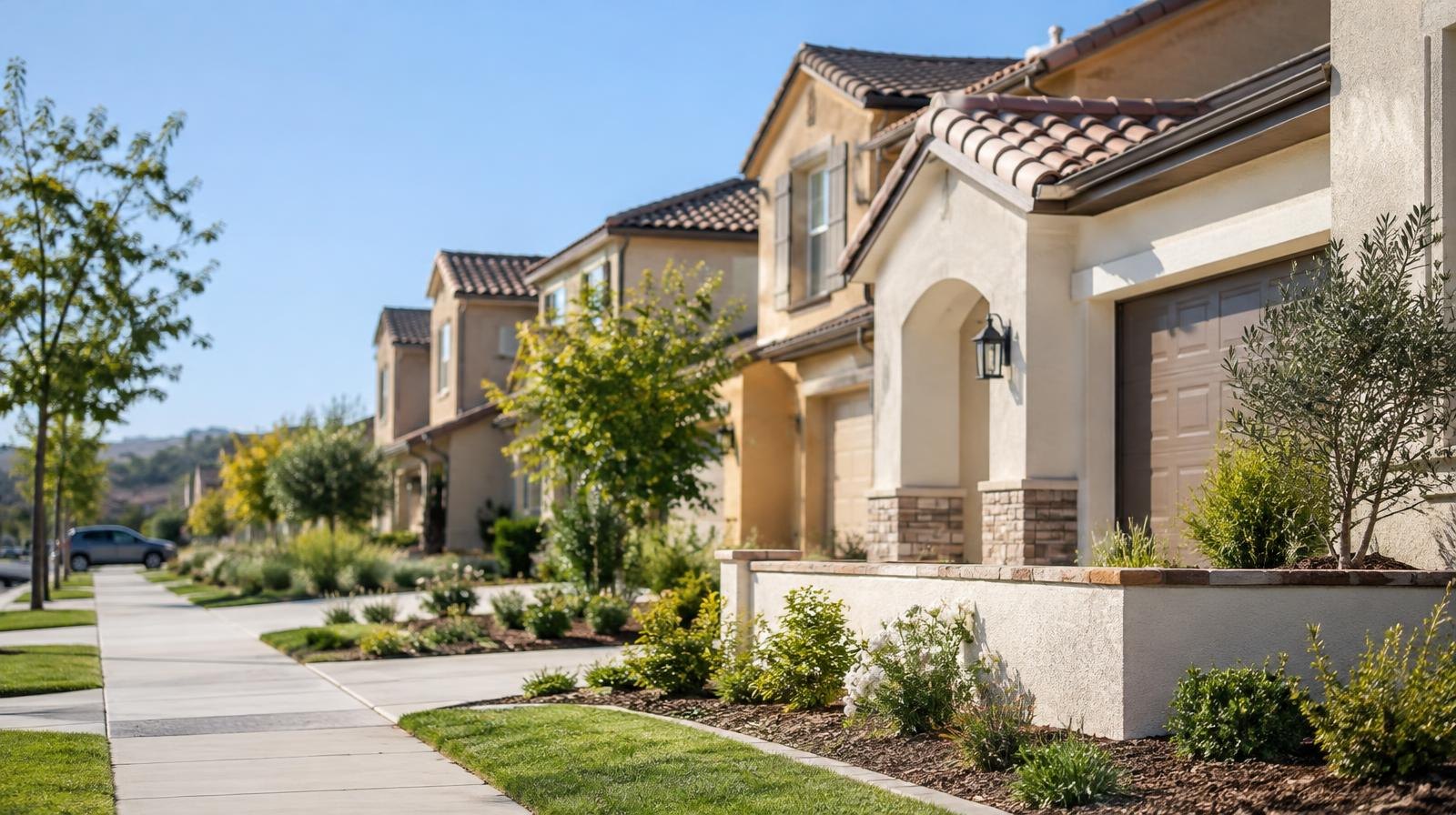
Riverside County is accepting public comments on a plan to build 157 single-family homes on 39 vacant acres near Mapes Road in unincorporated Temecula.
The Riverside County Planning Department released a draft environmental study for the Mapes Road Residential Project on Wednesday, Nov. 4. Residents have until Friday, Dec. 4, to submit written comments on the proposal.
The project would require a General Plan Amendment to change the site's land use designation from Low Density Residential to Medium Density Residential, according to the county's Initial Study and Mitigated Negative Declaration (MND). The zoning would also shift from Rural Residential to Planned Residential, allowing smaller lot sizes in exchange for shared open space.
The site sits south of Mahogany Lane, east of Tradewinds Drive, north of Mapes Road and west of Palomar Road, within the county's Harvest Valley/Winchester Area Plan. It is vacant and undeveloped.
The land was previously approved in July 2005 for a 65-lot subdivision under a different tract map. That project was never built.
What residents would see
The proposed homes would range from 1,596 to 2,845 square feet with four to five bedrooms, according to the MND. Lot sizes would range from about 5,093 to 12,058 square feet. Architectural styles would include Spanish, Prairie and Cottage designs, with a maximum height of 26 feet.
The development would include a roughly 48,875-square-foot community park with a turf lawn, a dog park, a shade structure and walking paths. A homeowners association would govern the community.
Using county population estimates, the 157 homes would add about 457 residents to the area, the MND states.
Traffic and road improvements
A traffic study prepared by EPD Solutions estimates the project would generate 1,427 daily vehicle trips. The study found all nearby intersections would operate at acceptable levels after the project is completed, with one exception.
The intersection of Menifee Road and Mapes Road would drop to a failing grade under cumulative 2027 traffic conditions. The study recommends installing a traffic signal there, funded through the county's Development Impact Fee program rather than solely by the developer.
The project would also add concrete trails along its frontage: six feet wide on Tradewinds Drive and Palomar Road, and eight feet wide on Mapes Road. Street widening, curbs and turning lanes along Mapes Road are also planned.
Fire risk and construction timeline
A portion of the site falls within a Very High Fire Hazard Severity Zone, according to the MND. The county's Preliminary Fire Protection Plan calls for fuel-modification zones, automatic sprinkler systems and ignition-resistant construction. The nearest fire station, Station 54 on Sultanas Road, is about 2.16 miles away with an estimated response time of six to eight minutes.
Construction would span roughly 15 months, starting in September 2027 and ending in November 2028, the MND states.
How to comment
No public hearing date has been set. The county stated that hearing details will be announced separately.
Written comments on the environmental study can be sent to Mona Mossayeb at the Riverside County Planning Department, P.O. Box 1409, Riverside, CA 92502-1409, or by email at [email protected]. The comment period closes Dec. 4. The study is also available for review at the planning department office at 4080 Lemon Street in Riverside.