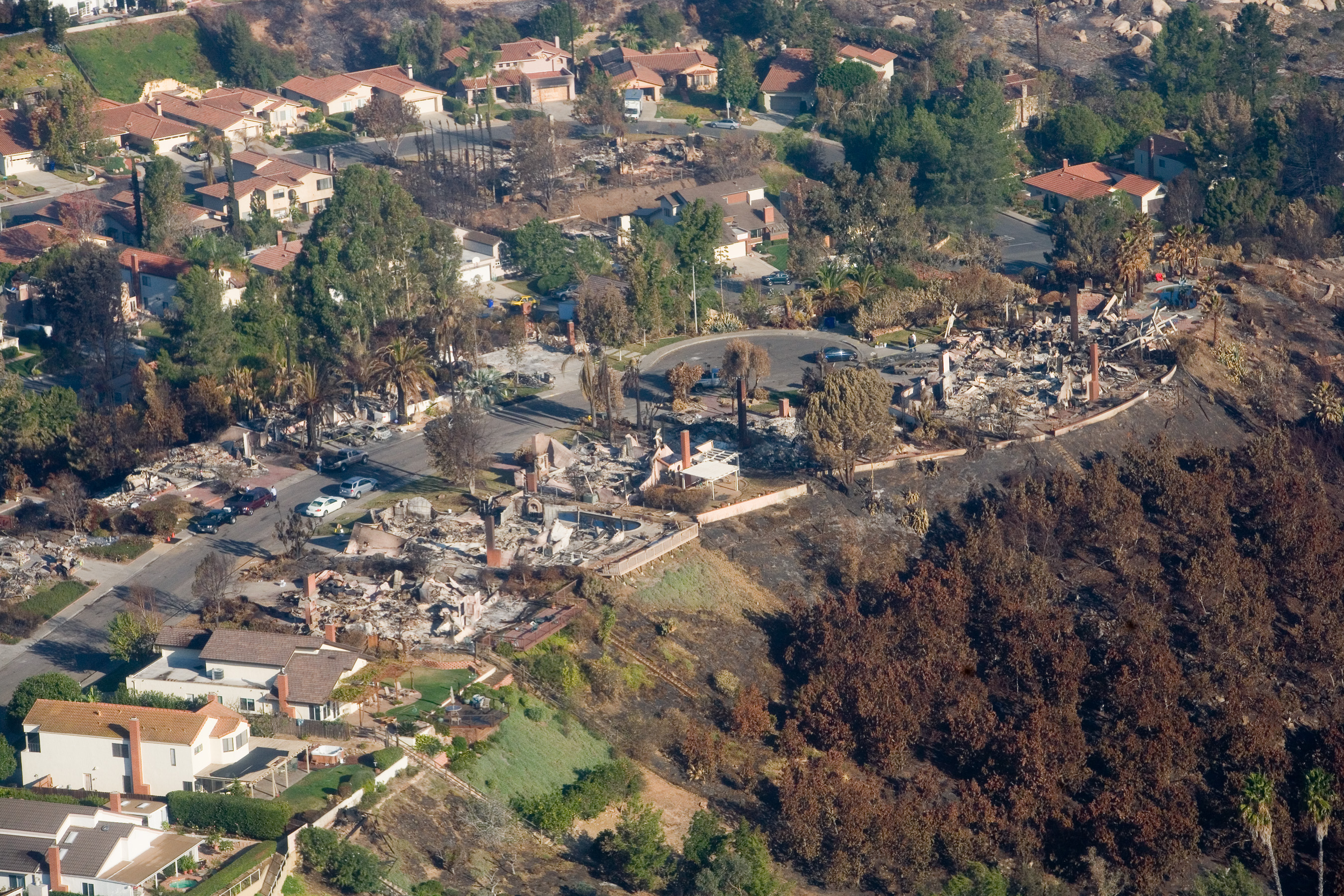
Gusts up to 55 mph and humidity as low as 5% will hit the Temecula area starting Thursday, Oct. 15.
The National Weather Service issued a high wind watch Tuesday, Oct. 13, for San Bernardino and Riverside County valleys, including the Inland Empire, according to the San Bernardino Sun. The watch takes effect at 6 a.m. Thursday and runs through 8 p.m. Friday, Oct. 16. Forecasters called it the first powerful Santa Ana wind event of the fall wildfire season.
The NWS San Diego office forecast northeast winds of 25 to 35 mph across the Inland Empire. Gusts could top 60 mph near coastal-facing foothills.
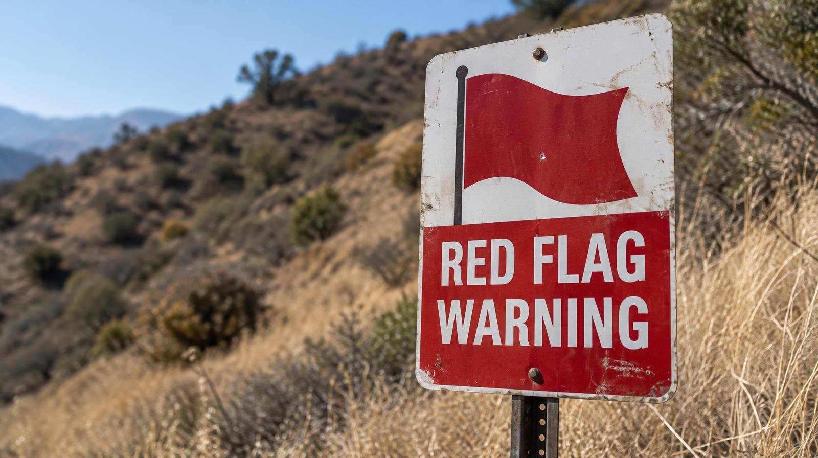
The NWS San Diego homepage listed active alerts for the region Tuesday, including a red flag warning, high wind watch, fire weather watch and heat advisory. Winds are expected to peak late Thursday through Friday night.
Humidity plunges, fire risk rises
Humidity could drop to between 8% and 20% in mountain areas and as low as 5% elsewhere, according to the NWS. The agency warned that dry air will erase any benefit from recent rains.
Fire weather watches across Southern California are likely to be upgraded to red flag warnings by Wednesday, Oct. 14, the NWS Los Angeles/Oxnard office warned. The agency said any fire ignition under these conditions could produce extreme fire behavior threatening life and property, the Press-Enterprise reported.
Nearby Murrieta is forecast to reach 83°F on Wednesday, 87°F on Thursday, 88°F on Friday and 86°F on Saturday, Oct. 17, according to NWS forecast data reported by Patch.
Power shutoffs on the table
Southern California Edison uses Public Safety Power Shutoffs, or PSPS, during extreme fire danger to reduce the risk of electrical equipment sparking wildfires. As of Tuesday, SCE's PSPS status page showed zero customers experiencing or under consideration for shutoffs across its 5 million customers.
That status could change quickly.
Malibu officials said SCE had notified the city of possible shutoffs beginning as early as Thursday morning, Patch reported. No similar notification for Riverside County appeared in available public records as of Tuesday.
The NWS high wind watch warns that winds could blow down trees and power lines, cause outages and make travel difficult for high-profile vehicles.
Forecasters expect the Santa Ana winds to weaken over the weekend as another low-pressure system approaches the West Coast. Below-normal temperatures and possible precipitation could arrive by the middle of next week.
Temecula residents can sign up for emergency alerts through Temecula Alert at temeculaca.gov/170/Temecula-Alert and Alert Riverside County at rivcoready.org/alertrivco. The NWS advised residents to protect property that may be damaged from high winds.